The NCSG has worked to develop a suite of planning and community development tools for several recent projects.

Maryland State-Owned Land Near Transit Map
This tool was developed by the National Center for Smart Growth to support transit-oriented development and land use planning in Maryland. This map is intended to inform planning decisions and identify opportunities for sustainable growth around transit corridors.

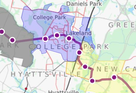
Purple Line Plans and Regulations Tool
The National Center for Smart Growth (NCSG) has developed a tool for the Purple Line Corridor Coalition and other stakeholders to identify plans and regulations within the corridor that affect their areas of interest.

Maryland Environmental Justice Screening Tool
The National Center for Smart Growth (NCSG) has partnered with the Maryland Environmental Health Network (MDEHN) to develop the “Maryland Environmental Screen Tool.”
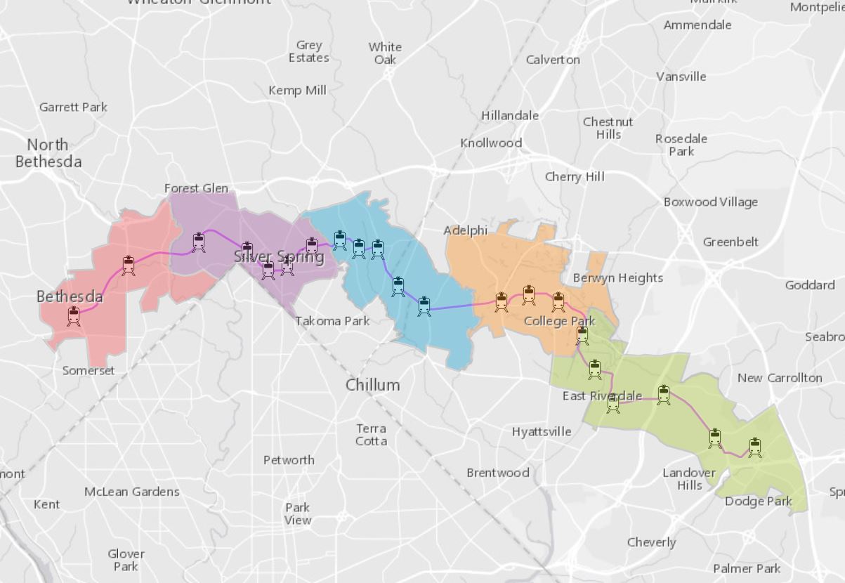
The Purple Line Dashboard
A tool to explore demographic, economic, employment and housing trends in Maryland's Purple Line corridor.
The Purple Line Community Story Map
A crowd-sourced mapping tool that allows people to share their experiences with the Purple Line.
OppMap
A customizable tool for mapping access to opportunity across the State of Maryland.

The Maryland Statewide Transportation Model
Maryland's first statewide transportation model used to evaluate the impacts of implementing potential transportation initiatives under various scenarios.