
County Executive transition team includes NCSG Director and Senior Research Scientist
NCSG director Gerrit Knaap and senior research scientist Fred Ducca are included in the transition team for Montgomery County Executive-Elect Marc Elrich. They are among “180 strong – a diverse array of politicians, operatives, civic leaders, community activists, small business owners, and lawyers.”
“I don’t want to surround myself with mirrors,” Elrich said, regarding his transition team, “Mirrors tend to lie. You see what you want to see.”
Knaap and Ducca will focus on “Easier Commutes” for county residents and workers.
More information and the full transition team can be found at Maryland Matters.
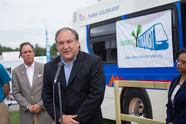
Photo by Aimee Custis for Coalition for Smarter Growth.

